MID-AMERICA'S GATEWAY
TO THE WORLD
PORT OPERATIONS
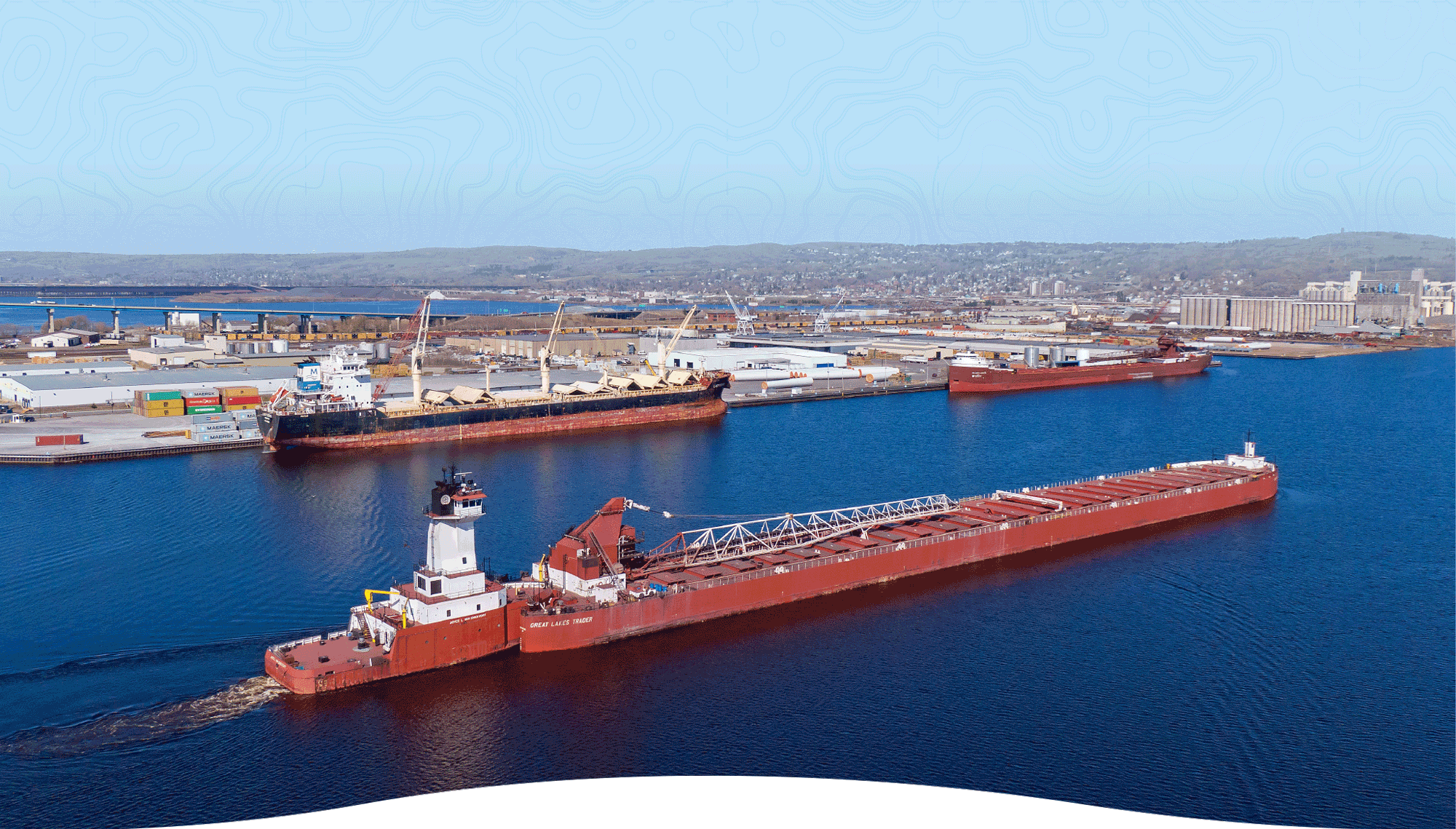
Located at the westernmost tip of Lake Superior, the Port of Duluth-Superior is North America’s farthest-inland freshwater seaport. A remarkable 9-mile natural breakwater shelters the port’s 49 miles of harbor frontage. Twenty privately owned bulk cargo docks and an award-winning general cargo terminal populate the working waterfront, along with a marine fueling depot, a shipyard with dry docks, multiple tug and barge services, plus an intermodal cargo terminal.
Duluth-Superior is a diversified multimodal shipping hub, offering global cargo transport through the Great Lakes-St. Lawrence Seaway, free-flowing major highways and direct Class I rail service to the East, West and Gulf Coast.
NEWS
NEWS
PORT AT A GLANCE
For more than 150 years, the Port of Duluth-Superior has been a leading engine for economic development, sustainability and job growth.
7,136
port-connected jobs
$1.3B
in annual business revenues
$569M
in annual income generated
CARGO AND TRADE
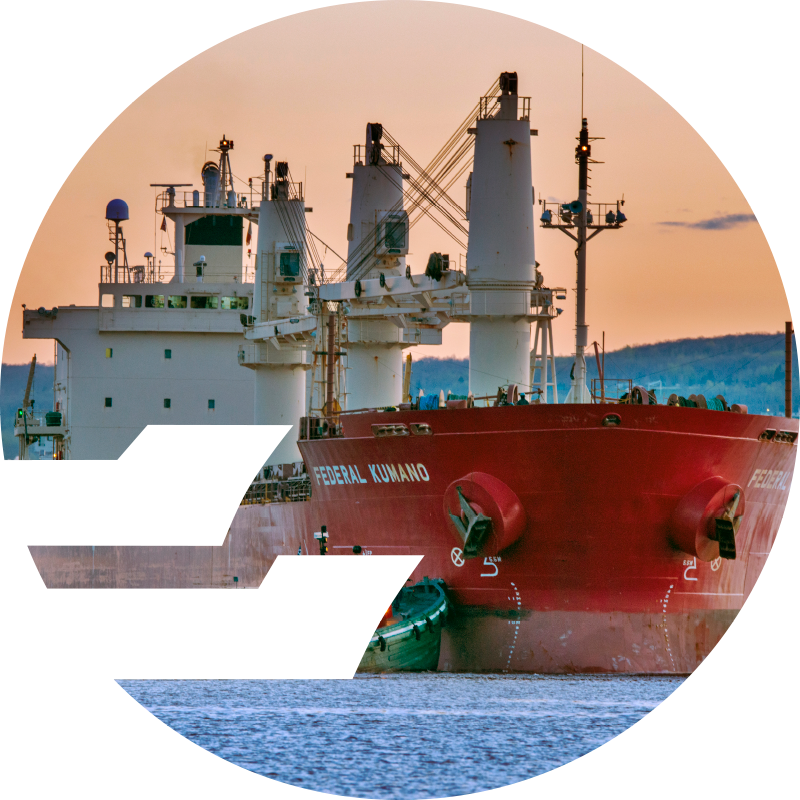
More than 35 million tons of cargo move through the port each year, making it the Great Lakes’ largest port by tonnage and one of the nation’s top 20. Duluth-Superior is North America’s foremost natural resources port and a leading mover of bulk commodities ranging from iron ore, coal and limestone, to grain, cement and salt. Duluth- Superior is also recognized worldwide as the heaviest lift port on the Great Lakes for its expertise in handling wind energy cargoes, project cargoes, wood pulp, paper, steel coils and containerized cargoes.
Each year, the port generates more than $1 billion in business activity as an essential link in the regional, national and global supply chain.